
Dalwhinnie Voices
No: 40 Contributor: Douglas Abercrombie Year: 1892
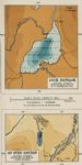
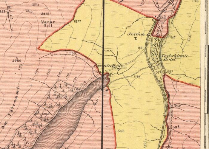
Map of the ParishThis 1892 map shows today's 'Fara' marked as Am Faireamh in Gaelic - perhaps anglicised to Varar Hill further along. Let us have any thoughts on changing placenames below.
Picture added on 15 August 2010 at 14:14
Maps